
UN General Assembly backs Africa-led shift towards Equal Earth maps
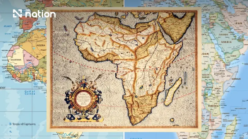


Backed by 164 countries, the non-binding measure encourages schools, institutions and technology firms to use maps that preserve continents’ relative area.
- The UN General Assembly has overwhelmingly passed a non-binding resolution, introduced by Togo for the African Union, to support the wider use of the Equal Earth map projection.
- The initiative challenges the widely used Mercator projection, which distorts land areas by making Africa appear significantly smaller than its actual size relative to northern continents.
- Supporters argue the Equal Earth map provides a more scientifically accurate and fair representation of landmasses, correcting a visual distortion linked to the colonial era.
- While the resolution is not mandatory, Togo plans to update its school materials and encourage other nations and technology companies to adopt more accurate maps.
African efforts to change the way land area is portrayed on widely used world maps won overwhelming support at United Nations (UN) headquarters in New York on Friday (September 4, 2026).
Togo, acting for the African Union (AU), introduced a non-binding General Assembly resolution supporting wider use of the 2018 Equal Earth projection.
The measure received 164 votes in favour, one against and six abstentions.
Governments and organisations are not required to abandon other projections, but the initiative seeks to challenge representations that make Africa appear peripheral.
The United States cast the only opposing vote, describing the resolution as promoting an “ideological agenda” and diverting attention from substantive matters involving international peace, prosperity and relations between countries.
Togo’s foreign minister, Robert Dussey, presented the issue as one of scientific accuracy rather than political preference.
“A fair world begins with a fair map,” he said before the vote.
Dussey also linked Mercator’s widespread use to the legacy of colonisation, while stressing that the campaign was not directed against Europe or any other civilisation.

“The world is changing. Africa also is changing,” he said.
Flemish cartographer Gerardus Mercator devised his projection in 1569 to assist maritime navigation.
When the globe is represented on a flat surface, its scale expands towards the poles, making high-latitude territories appear disproportionately large while land nearer the equator looks smaller.
Africa can consequently seem comparable in size to Greenland, although it is approximately 14 times larger.
Equal Earth represents relative land areas more accurately.
The resolution does not challenge the continued use of Mercator for maritime and aerial navigation, for which Togo’s foreign ministry said it remains well suited.
The #CorrectTheMap campaign illustrates Africa’s scale by saying that the continent is large enough to contain the United States, China, India, Japan, Mexico and most of Europe combined, with land still remaining.
Supporters argue that distorted representations can influence public perceptions and geopolitical thinking by visually diminishing the Global South in comparison with the Global North.
They link the distortion to the legacy of colonial-era mapping.

Togo intends to revise its school geography materials before the end of 2026.
Dussey said it expected to become the first country to make the change and hoped its classrooms would set an example for others.
The government will also encourage other countries, schools, international organisations and technology providers to adopt maps that represent relative land area more accurately.
Within the next six months, Togo plans to consult other AU member states and supporters from outside Africa on promoting broader adoption.
The discussions are also expected to involve companies working on digital maps, Global Positioning System (GPS) products and other location-based technologies.
France supported the move before the vote.
French Foreign Minister Jean-Noël Barrot said the Ministry for Europe and Foreign Affairs would stop using the Mercator projection in its diplomatic work and adopt map representations better suited to particular purposes and more faithful to actual surface areas.
Source: Reuters
